PROJECT DETAILS
LOCATION: THOUSAND ISLANDS REGION/ ST. LAWRENCE RIVER
WHEN: 2017
TYPE OF WORK: ACADEMIC
TEAMMATE: IVY WONG
PROFESSOR: ANNE WEBER & BRIAN DAVIS
COURSE: BORDERLANDS DESIGN STUDIO
The goal of this project is to redefine the experience of both human and animal users along I-81, the interstate that cuts through Wellesley Island. To achieve this goal, a series of specific design interventions have been proposed as a part of a masterplan. These design interventions aim to address the problem of herptilian road-kill as well as enhance and improve the driver experience on a road which has the potential to be a beautiful, scenic route, however is currently somewhat banal. Interventions include smart species- specific ecological crossings, as well as plays with light, texture, views and speed in an attempt to make the driving experience more enjoyable.
The Interstate Experience: Redesigning Roads/User Experience in the Thousands Islands
A NOTE ON THE GRAPHICS ABOVE
For this studio project, students were asked to find an problem on the site and design a solution for it. We were encouraged to think about conservation and ecological design. Initially, I was interested in understanding the history of the region, and investigated how the islands had changed over time. I realized that the way people engaged with the region had changed significantly over time, though perhaps the site was mostly being used by humans for an economic purpose. As an idealistic undergraduate student, I was interested in developing a landscape design that did not have economic interests at the forefront of the design. Ivy Wong, a classmate of mine with whom I worked closely on several projects while at Cornell had a similar inclination, so we teamed up on the project and began researching the site’s rich ecosystem - taking specific interest in its fauna.
A PLOT OF ROADKILL DATA OVER THE COURSE OF A YEAR AT THE NEARBY ALEXANDRIA BAY
We found roadkill data from roads near the region and realized that most of the roadkill were reptiles and amphibians, especially frogs. We asked ourselves if we could design an intervention on one of the islands that made the place better for people and animals, specifically frogs.
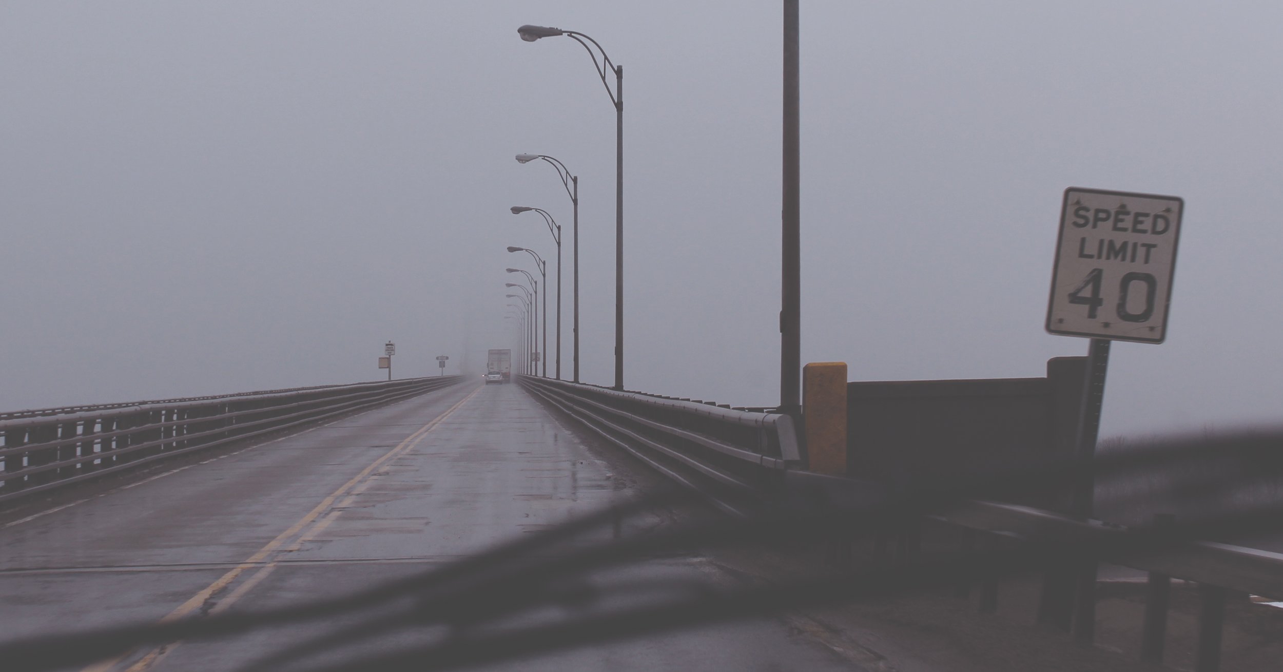
Our studio class went on a roadtrip to the site. I was mesmerized by the natural beauty of the landscape. It made me think about road trips and how the experience of driving through the space was pleasant, but could be improved. Certain views could be leveraged, there could be more overlooks and rest-stops. Also, wasn’t our roadtrip potentially causing frog deaths? What could we do to improve the both the frog and human experience of driving through the region? This became our design question.
“Road watching is a delight, and the highway is - or at least might be - a work of art. The view from the road can be a dramatic play of space and motion, of light and texture, all on a new scale. [...] To our way of thinking, the highway is the great neglected opportunity in city design.”
- Donald Appleyard, Kevin Lynch, and John R Myer, The View from the Road
MAPPING THE ROAD
I took a lot of notes on Kevin Lynch’s, The View from the Road which helped me make this analytical road map. I was trying to understand what made the road special. I also wanted to visualize an experience of moving through the road. I imagined a car moving through the road at the 40mph speed limit and cut sections at 15 second intervals.
STAGED INTERVENTIONS
The design solution we arrived at for this project was not a site specific solution, but rather a set of guidelines or the creation of a toolkit that we thought would help improve the road experience.
A TURTLE TUNNEL
We suggested placing a turtle crossing beneath a section in the road that moved through an ecologically sensitive area (we hypothesized that there were likely to be more frog crossings in this area because there was frog habitat on both sides of the road).
We thought it would be fun and appropriate to have the tunnel be made of shipping containers - the road gets a lot of truck traffic, so it would be like using a local material.
There were lots of things we hadn’t figured out by the time the project was done (like how could we make sure the frogs would use the tunnel crossing we designed for them?) But it was an interesting design challenge.
A NOTE ON THE GRAPHICS BELOW
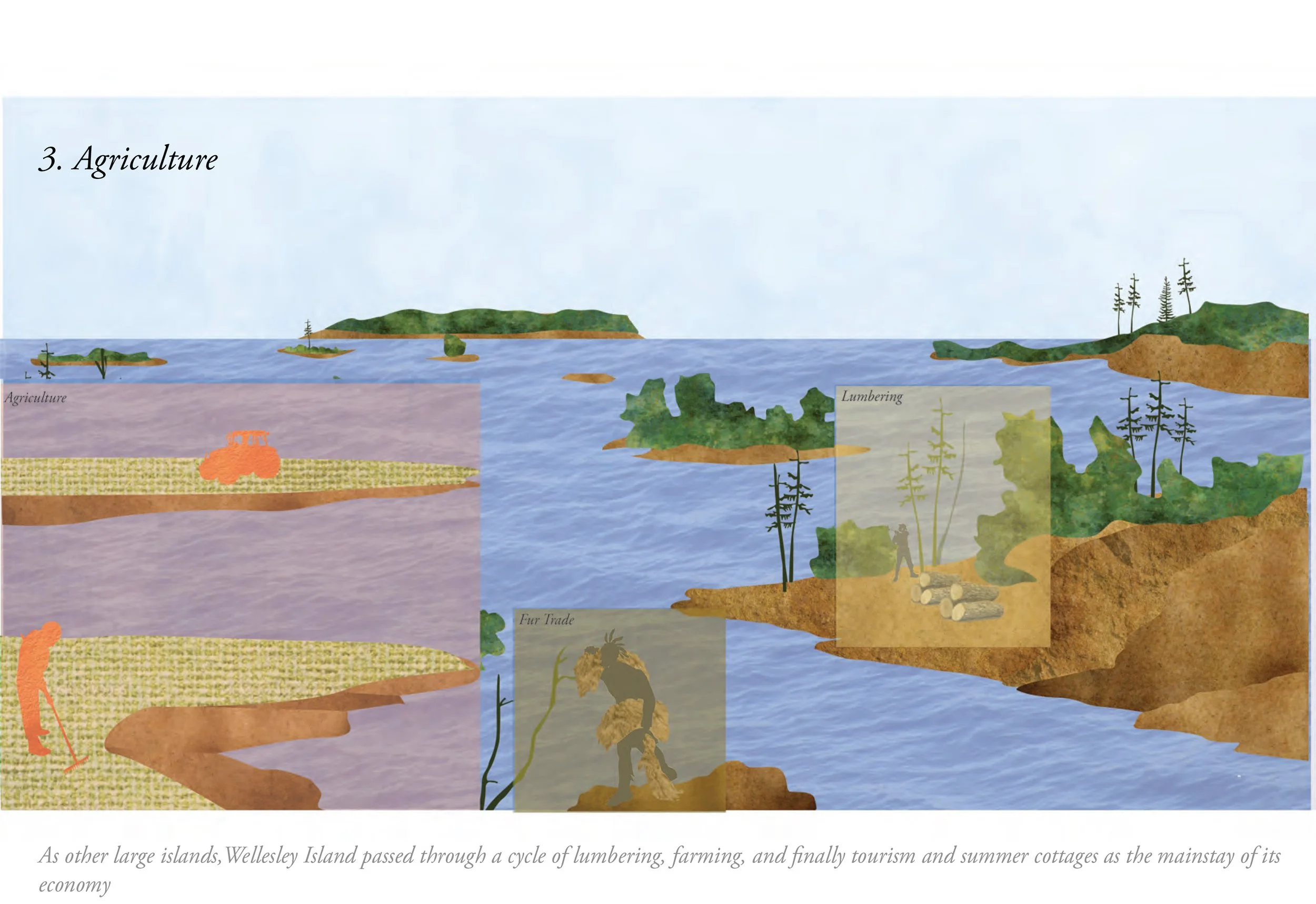
I have included some previous mapping and graphics that were prepared for a site analysis phase of the project. The graphics below look into the historical groups of people that inhabited or moved through the islands.


